Lunch and Learn Webinar: Digital Twins and Mobile Mapping Workflows (11 am MST, 1pm EST)
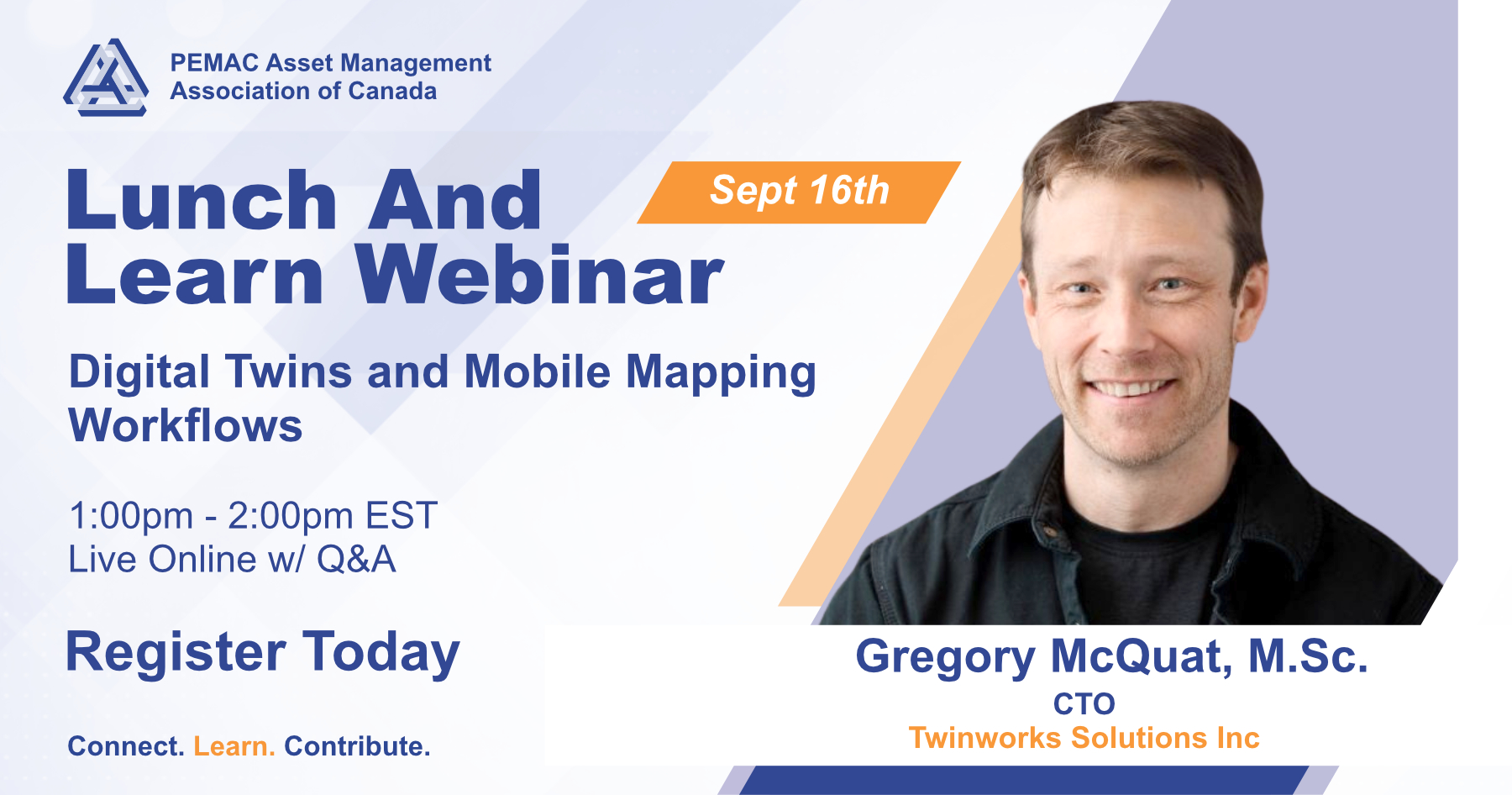
A practical look at how mobile mapping data flows into municipal asset management systems — and why standards and data sovereignty determine whether it's still useful five years from now.
Municipalities are increasingly capturing their roadside infrastructure — benches, poles, signs, lights, roads — through mobile mapping, but the harder problem isn't collection, it's connection: combining that data with the CMMS, IMS, AIMS, and GIS systems already in use, without locking a municipality into a single vendor's pipeline. This session walks through the practical process behind a mobile mapping program and situates it within a systems-of-systems view of asset management. We'll be drawing on standards from both the GIS and BIM worlds (OGC, IFC, ISO 19650) to show how the pieces are meant to talk to each other. Along the way, we'll unpack why data sovereignty matters in concrete, practical terms. No prior technical background required.
Agenda:
- Foundations of Digital Twins - Reality Capture with Mobile Mapping Systems
- A Systems of Systems Approach
- Data Sovereignty
- Intro to a Digital Twin Capability Framework
Members who attend will have one hour of Continuing Professional Development credits added to their CPD tracker.
You are invited to a Zoom webinar!
When: Sep 16, 2026 01:00 PM Eastern Time (US and Canada)
Topic: Lunch and Learn Webinar: Digital Twins and Mobile Mapping Workflows
Join from PC, Mac, iPad, or Android:
https://us06web.zoom.us/j/82658619461
Phone one-tap:
+12532050468,,82658619461# US
+12532158782,,82658619461# US (Tacoma)
Join via audio:
+1 253 205 0468 US
+1 253 215 8782 US (Tacoma)
+1 301 715 8592 US (Washington DC)
+1 305 224 1968 US
+1 309 205 3325 US
+1 312 626 6799 US (Chicago)
+1 346 248 7799 US (Houston)
+1 360 209 5623 US
+1 386 347 5053 US
+1 507 473 4847 US
+1 564 217 2000 US
+1 646 558 8656 US (New York)
+1 646 931 3860 US
+1 669 444 9171 US
+1 689 278 1000 US
+1 719 359 4580 US
+1 720 707 2699 US (Denver)
Webinar ID: 826 5861 9461
International numbers available: https://us06web.zoom.us/u/kexrRXC7IX